Key West to Canada (Click here to read the blog)
Overview
The plan is to hike from Key West, FL to Cape Gaspe’ in Canada. The route consists of several existing trails that will be linked together for one continuous hike.
1. Key West to Big Cypress Swamp: 183 miles, mostly a road hike with 106 miles on the Overseas highway. About 30 miles are on the dike that parallels the Tamiami Trail and overlooks the Everglades. (Started 14 Nov 99 with friend and neighbor Roger Rose – completed 24 Nov 99)
2. Florida Trail: About 900 miles, starting in the Big Cypress Swamp (about midway between Naples and Miami) and ending on the Alabama State Line near Pensacola, FL. Most of the Florida Trail (FT) is a primitive foot path constructed and maintained by the Florida Trail Association (FTA). Much of it has now been certified as “National Scenic Trail” and more will be in the future. Hiking the FT started on 28 Dec 99 – completed 8 Mar 2000.
3. This ~450 mile portion will link the Florida Trail with the Appalachian Trail (AT) through a series of connector trails in SE Alabama and north Georgia. Beginning at the Florida-Alabama State Line, the route is on trails through Conecuh National Forest, then on some back roads to the Pinhoti Trail, and the Benton MacKaye Trail to Springer Mountain, GA, the southern terminus of the AT. The start time is a little fuzzy but should be in March 2000 -completed 1 May 00.
4. Appalachian Trail: This traditional 2160 mile trail starts at Springer Mountain, Georgia and ends at Mount Katahdin, Maine. It will probably be May 2000 before we get to the AT and it takes an average of six months to complete. Mount Katahdin is in Baxter State park and they close the park every year on 15 October, additionally, early winter weather may delay completion of the AT until year 2001. Completed 22 September 00.
5. International Appalachian Trail (IAT): This newly designated 600 mile trail continues from Katahdin through Maine into Canada connecting the highest points of the Appalachian Mountains in Maine, New Brunswick and Quebec. The end section is along the northern coast of the St. Lawrence River to the 300 foot cliffs of Cape Gasp* in Quebec at the Atlantic ocean (the geographic northern terminus of the Appalachian Mountain chain). This is clearly a 2001 hike. Began 24 September 2000 – completed 5 November 2000.
In 2000 when Chuck finished his hike from Key West to Cap Gaspe’ there was already talk of adding Newfoundland to the International Appalachian Trail and to the ECT (Eastern Continental Trail – Key West to north Belle Isle). On July 8, 2002 Chuck started his hike at Port aux Basques, Newfoundland and completed it August 18, 2002 at the northern tip of Belle Isle, NF.
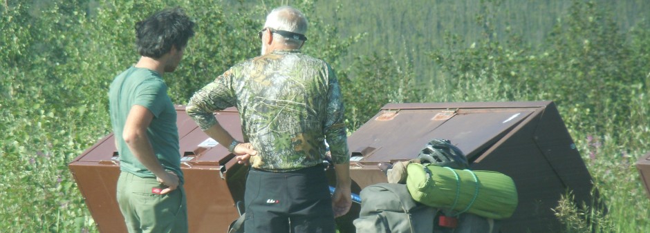
Making it happen: Throughout much of this effort, Betty will move from trailhead to trailhead with our RV. This will eliminate much of the need for mailing supplies ahead and will mean that some of the hiking will be with only a day pack (slack packing). However, due to inaccessibility and scheduling there will be a great many multiple day stretches with full gear. This is NOT a speed record attempt and we expect to “smell the wild flowers” along the way (restaurants, museums, summer theaters, historical sites, etc). We hope that many of our friends and family will join us for portions of the hike. Betty has redefined “camping” as “Roughing it Smoothly”.